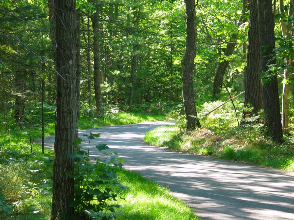
“To walk in nature is to witness a thousand miracles.”—Mary Davis
This poignant description seems to strike the core of those of us who love being outside. Now with the coronavirus, when so much of our professional and social lives have been put on hold, the outdoors has turned into a refuge for many. Before, Mother Nature may have been simply unnoticed or underappreciated. But now, when so many facets of life seem uncertain, our attention is drawn to simple things, such as those things seen in nature. Being in nature has become an escape.
Scientifically, we know that nature is complex and ornate and deliberate and cyclical. Yet we find ourselves in a state of wonder at the sight of a blossom or a floating butterfly or a cresting wave.
But that’s enough philosophy. You don’t need to be RVing or camping to be able to wander through the North Woods. Michigan is home to hundreds of trails, which run the gamut for scenery, each of which shares a miracle or two with us as we pass on through.
There are more than 13,000 miles of state-designated trails in Michigan (Remember, the Recreation Passport fee in Michigan is waived until two weeks after the end of the stay at home order.), as well as hundreds of miles of trails managed by volunteer groups. We’ll focus on hiking/walking trails, many of which double as cross-country skiing or snowshoe trails in the winter.
Betsie Valley Trail
Upper Peninsula
- Whitefish Point Trail: Only 1.5 hours north of the Mackinac Bridge, his easy-to-traverse trail leads you to a scenic view of Whitefish Bay, an inlet on the majestic Lake Superior. It’s just more than a mile long one-way. There’s a lighthouse, a shipwreck museum, and a bird observatory along the Point as well.
- Yellow Dog Falls: The area around Marquette is rich for waterfall hunters. Yellow Dog Falls is one of the most well-known and only 10 miles from town. The falls are located off County Road 510. There is a small parking area and the trailhead. Walk a mile downstream to reach the picturesque falls that is the main attraction along the Yellow Dog River. The trail continues on for another mile and passes smaller falls and rapids. Not a bad way to spend an hour or two!
Northwest Lower Michigan
- Betsie Valley Trail: This 22-mile trail between Thompsonville and Frankfort is ideal for walkers. You don’t need to walk the whole distance to feel the positive effects of being in nature and some extended exercise. The trailhead is in downtown Beulah. There are parking areas in Frankfort, Beulah, and Thompsonville. Trail segments run from two to seven miles, so you can choose your distance. Pets are permitted, too, so don’t forget to bring them along.
- Fred Meijer White Pine Trail: Another popular outdoor walking trail is the Fred Meijer White Pine Trail, which runs a linear 92 miles between Grand Rapids and Cadillac. Much of the trail is paved, while some parts are gravel. The trail passes through 16 Michigan communities, with most stops offering a drinking fountain and restroom for travelers.
Huron Sunrise Trail
Northeast Lower Michigan
- Port Crescent State Park Trail: Considered one of the best state parks in the state, this two-mile trail in Michigan’s thumb includes a boardwalk and access to a sandy beach on the shores of Lake Huron. There is a variety of landscape and lots of trails to choose from off of the main trail. Take a deep breath to smell the unique and almost sweet scent of the freshwater lake!
- Huron Sunrise Trail: This all-paved asphalt trail is ideal for walking and biking. It’s 11 miles in length and runs from Rogers City Little League Park to Forty-Mile Point Lighthouse (1896). One of the most beautiful trails in the northeast, you’ll walk among hardwoods, dunes, parks, and streams. One of the sights is along the way is Sacred Rock, a massive boulder that was deposited when the last glacier left the Great Lakes. Native Americans believed it was sacred and were known to make sacrifices at the rock.
Southwest Lower Michigan
- Flat River Trail: Running 6.5 miles from Baldwin Lake to Tower Park, you’ll have an easy two-hour walk on the asphalt. The trail followers the twisting Flat River and connects to two mountain bike trails and five city parks. You’ll walk through a mosaic-decorated tunnel that runs under the M57 Highway.
-
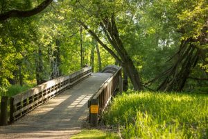
Lansing River Trail
Lansing River Trail: Boardwalks, bridges, and paved throughways make the 20-mile Lansing River Trail a diverse and interesting walk for humans and canines alike. You’ll pass through numerous parks, natural areas, and have easy access to downtown Lansing, our state capital. Visit https://lansingrivertrail.org/.
South-Central Lower Michigan
- Barton Nature Area: There are two sections to this 200-acre nature area, Oxbow and Foster. Oxbow, named because of the circular bend in the Huron River than meanders through the property, will take you through beautiful plain landscapes such as prairie, meadows, and fields; Foster is the woodland route and accessible only by boat. Keep an eye out for butterflies, as this is one of the top butterflying spots, and bring a lunch as there’s a splendid picnic area.
- Border-to-Border Trail: This lengthy trail in Washtenaw County is non-motorized and connects multiple cities over the course of 40 miles (and 70 more planned!). The majority of the trail runs between Ann Arbor and Ypsilanti, with other existing individual segments (soon to be connected) at Dexter (Hudson Mills Metropark) and Chelsea (Waterloo Recreation Area). Stop along the way at one of the parks, universities, libraries, or nature areas (complete breakdown of destinations).
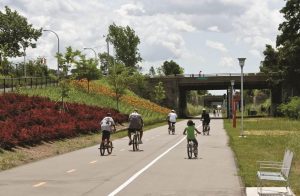
Dequindre Cut Greenway
Southeast Lower Michigan
- Paint Creek Trail: This was the first non-motorized rail trail in Michigan. It’s one of the state’s most popular, seeing 100,000 visitors a year. With its location in Oakland Township, it’s easily accessible and makes for a nice day excursion. The Paint Creek Trail runs 8.9 linear miles and passes over 12 restored railroad bridges. There are also two cider mills near the trail where you can stop in for some libations. This trail is particularly stunning in the fall (and when the cider is fresh).
- Dequindre Cut Greenway: If you’re looking for a unique walk, look no further than city center Detroit. The Dequindre Cut Greenway is a two-mile urban recreational path from the East Riverfront and into the heart of Eastern Market. The pedestrian- and bike-friendly pathway is below-street level and is well-known for its urban artwork and graffiti. Visit https://detroitriverfront.org/riverfront/dequindre-cut/dequindre-cut.
When this pandemic is behind us, you can still step off your front porch or step out of your vehicle and embark on a path through the woods of Michigan – and you will always be a witness to the miraculous.
